Файл:Europe-Great Britain.svg

Исходный файл (SVG-файл, номинально 450 × 456 пкс, размер файла: 735 КБ)
Этот файл находится на Викискладе. Сведения о нём показаны ниже.
Викисклад — централизованное хранилище для свободных файлов, используемых в проектах Викимедиа.
|

Краткое описание
| Описание |
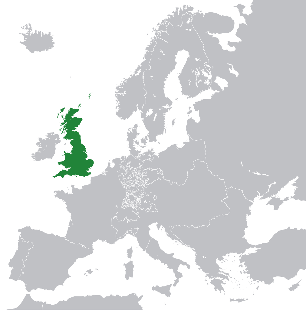
English: Great Britain in 1800 Europe. |
||
| Дата | |||
| Источник | File:Europe 1789.svg | ||
| Автор | Rob984 | ||
| Другие версии |
|
.svg)
Лицензирование
- Вы можете свободно:
- делиться произведением – копировать, распространять и передавать данное произведение
- создавать производные – переделывать данное произведение
- При соблюдении следующих условий:
- атрибуция – Вы должны указать авторство, предоставить ссылку на лицензию и указать, внёс ли автор какие-либо изменения. Это можно сделать любым разумным способом, но не создавая впечатление, что лицензиат поддерживает вас или использование вами данного произведения.
- распространение на тех же условиях – Если вы изменяете, преобразуете или создаёте иное произведение на основе данного, то обязаны использовать лицензию исходного произведения или лицензию, совместимую с исходной.
Данный файл может содержать неверную информацию о лицензии.
Причиной, почему пользователь, поставивший этот флаг, сделал это, послужило: appears to be an uncredited (unattributed) derivative work of both Europe 1789.svg which is licensed under the Creative Commons Attribution-Share Alike 3.0 Unported licence. I believe the currently supplied license (Creative Commons Attribution-Share Alike 4.0 International) is compatible with this but the required attribution has not been supplied.
Уведомить загрузившего с помощью:
Элементы, помеченные данным шаблоном, попадают в категорию Category:Items with disputed copyright information.
|
История файла
Нажмите на дату/время, чтобы посмотреть файл, который был загружен в тот момент.
| Дата/время | Миниатюра | Размеры | Участник | Примечание | |
|---|---|---|---|---|---|
| текущий | 11:53, 8 ноября 2014 | | 450 × 456 (735 КБ) | Rob984 | User created page with UploadWizard |
Использование файла
Следующая страница использует этот файл:
Глобальное использование файла
Данный файл используется в следующих вики:
- Использование в bg.wikipedia.org
- Использование в en.wikipedia.org
- Использование в fr.wikipedia.org
- Использование в hi.wikipedia.org
- Использование в hr.wikipedia.org
- Использование в ja.wikipedia.org
- Использование в ka.wikipedia.org
- Использование в nl.wikipedia.org
- Использование в pl.wikipedia.org
- Использование в rue.wikipedia.org
- Использование в zh-min-nan.wikipedia.org