Файл:Tolchester folio Maryland Plate II.jpg
Перейти к навигации
Перейти к поиску
Размер этого предпросмотра: 800 × 465 пкс. Другие разрешения: 320 × 186 пкс | 640 × 372 пкс | 1024 × 595 пкс | 1280 × 744 пкс | 2084 × 1211 пкс.
Исходный файл (2084 × 1211 пкс, размер файла: 1,11 МБ, MIME-тип: image/jpeg)
Этот файл находится на Викискладе. Сведения о нём показаны ниже.
Викисклад — централизованное хранилище для свободных файлов, используемых в проектах Викимедиа.
|
Краткое описание
| Описание |
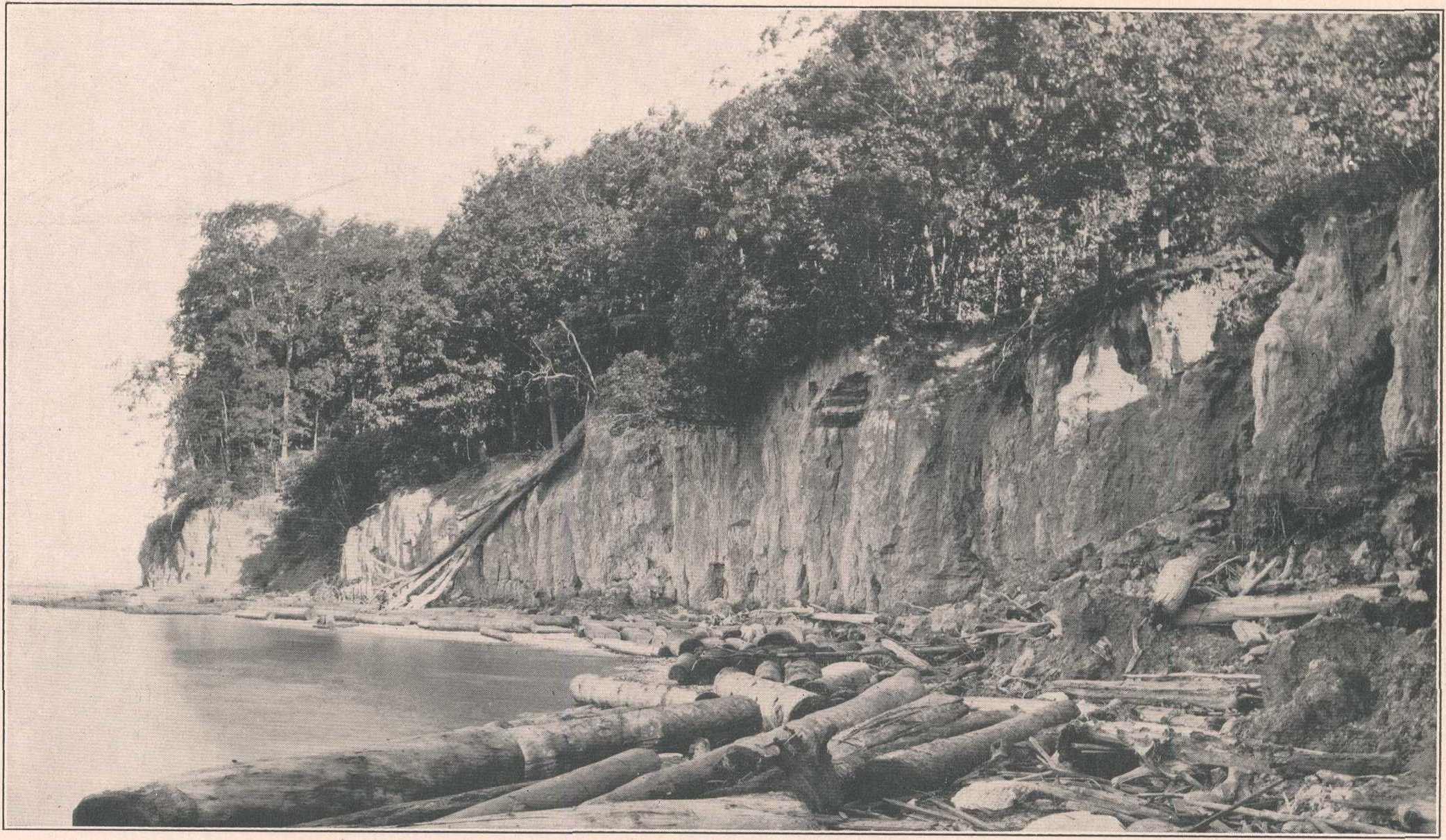
English: Plate II from Tolchester Folio, Maryland, which has the following caption:
The text of the publication states:
|
| Дата | |
| Источник | Tolchester folio, Maryland, Geologic Atlas of the United States, by B. L. Miller , E. B. Mathews, A. B. Bibbins, and H. P. Little, 2017 |
| Автор | USGS |
| Другие версии |
 |
Лицензирование
Это изображение находится в общественном достоянии, так как содержит материалы, которые первоначально получены от Геологической службы США (USGS) — агентства Министерства внутренних дел США. Дополнительную информацию см. «Официальная политика авторского права USGS» (англ.).
|
История файла
Нажмите на дату/время, чтобы посмотреть файл, который был загружен в тот момент.
| Дата/время | Миниатюра | Размеры | Участник | Примечание | |
|---|---|---|---|---|---|
| текущий | 12:59, 7 февраля 2023 | | 2084 × 1211 (1,11 МБ) | Jstuby | Uploaded a work by USGS from [https://pubs.er.usgs.gov/publication/gf204 Tolchester folio, Maryland], Geologic Atlas of the United States, by B. L. Miller , E. B. Mathews, A. B. Bibbins, and H. P. Little, 2017 with UploadWizard |
Использование файла
Нет страниц, использующих этот файл.
Глобальное использование файла
Данный файл используется в следующих вики:
- Использование в en.wikipedia.org