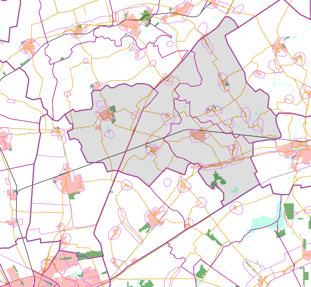
Файл:Map - NL - Loppersum (2009).svg
Перейти к навигации
Перейти к поиску

Размер этого PNG-превью для исходного SVG-файла: 625 × 575 пкс. Другие разрешения: 261 × 240 пкс | 522 × 480 пкс | 835 × 768 пкс | 1113 × 1024 пкс | 2226 × 2048 пкс.
Исходный файл (SVG-файл, номинально 625 × 575 пкс, размер файла: 1,6 МБ)
История файла
Нажмите на дату/время, чтобы посмотреть файл, который был загружен в тот момент.
| Дата/время | Миниатюра | Размеры | Участник | Примечание | |
|---|---|---|---|---|---|
| текущий | 22:12, 2 февраля 2009 |  | 625 × 575 (1,6 МБ) | Michiel1972 | {{Information |Description=*{{subst:PAGENAME}} *map showing municipality boundary (2009), statistical district and neighbourhood boundaries, built up area's, main roads, railwaylines, forest and water bodies. *This SVG was generated with a script '''Leg |
| 21:29, 2 февраля 2009 |  | 625 × 575 (1,6 МБ) | Michiel1972 | {{Information |Description=*{{subst:PAGENAME}} *map showing municipality boundary (2009), statistical district and neighbourhood boundaries, built up area's, main roads, railwaylines, forest and water bodies. *This SVG was generated with a script '''Leg |
Использование файла
Следующая страница использует этот файл: