Файл:32-Gers-département-fr-carte-R1.jpg
Перейти к навигации
Перейти к поиску
Нет версии с бо́льшим разрешением.
32-Gers-département-fr-carte-R1.jpg (624 × 484 пкс, размер файла: 156 КБ, MIME-тип: image/jpeg)
Этот файл находится на Викискладе. Сведения о нём показаны ниже.
Викисклад — централизованное хранилище для свободных файлов, используемых в проектах Викимедиа.
|
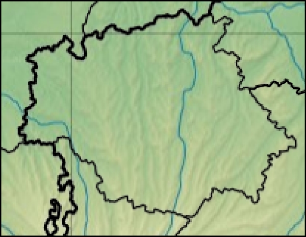
- Carte 32 Gers département fr carte relief
- source:Travail personnel
- fr:Modèle:Géolocalisation/Gers
- licence:
The map has been created with the Generic Mapping Tools: https://www.generic-mapping-tools.org/ using one or more of these public-domain datasets for the relief:
|

|
Разрешается копировать, распространять и/или изменять этот документ в соответствии с условиями GNU Free Documentation License версии 1.2 или более поздней, опубликованной Фондом свободного программного обеспечения, без неизменяемых разделов, без текстов, помещаемых на первой и последней обложке. Копия лицензии включена в раздел, озаглавленный GNU Free Documentation License. |
-
- projection equirectangulaire
44.125° -0.375° + 1.25° 43.25°
История файла
Нажмите на дату/время, чтобы посмотреть файл, который был загружен в тот момент.
| Дата/время | Миниатюра | Размеры | Участник | Примечание | |
|---|---|---|---|---|---|
| текущий | 09:24, 8 января 2013 | | 624 × 484 (156 КБ) | Wikisoft* | *Carte 32 Gers département fr carte relief *source:Travail personnel *fr:Modèle:Géolocalisation/Gers *licence:{{GFDL-GMT}} *{{Atelier graphique carte}} *projection equirectangulaire <center>44.125°</center> <center>-0.375° + 1.25°</cente... |
| 09:20, 8 января 2013 |  | 624 × 484 (156 КБ) | Wikisoft* | *Carte 32 Gers département fr carte relief *source:Travail personnel *fr:Modèle:Géolocalisation/Gers *licence:{{GFDL-GMT}} *{{Atelier graphique carte}} *projection equirectangulaire <center>44.125°</center> <center>-0.375° + 1.25°</cente... |
Использование файла
Нет страниц, использующих этот файл.